As the world becomes increasingly digitized and interconnected, traditional GPS navigation is being replaced by more immersive, intelligent, and real-time solutions. At the forefront of this transformation is Augmented Reality (AR) Navigation, a technology that blends spatial computing, real-time geolocation, and digital overlays to enhance the way people move through physical environments. Whether you’re behind the wheel or walking through a city, AR navigation is set to redefine how we perceive and interact with the world around us.
The Shift from Maps to Mixed Reality
Standard 2D maps and turn-by-turn voice directions have been the dominant form of digital navigation for decades. While functional, they often lack intuitive spatial cues—forcing users to interpret information rather than see it in context. AR navigation eliminates this cognitive gap by overlaying navigational prompts, street names, lane markings, and real-world POIs (points of interest) directly onto a live view of the physical world.
This innovation creates a highly visual and interactive experience. Instead of trying to match abstract map symbols to real locations, users can follow floating arrows, digital street signs, and 3D landmarks visible through their phone screens, AR-enabled windshields, or smart glasses.
Download PDF Brochure @ https://www.marketsandmarkets.com/pdfdownloadNew.asp?id=150009689
AR Navigation in the Automotive Sector
In the automotive industry, AR navigation is becoming a critical feature for the future of connected and autonomous vehicles. Advanced Driver Assistance Systems (ADAS) now include AR-powered Heads-Up Displays (HUDs) that project navigation information onto the windshield—allowing drivers to keep their eyes on the road. These systems can highlight the correct lane to be in, show turn signals ahead of time, and even identify nearby hazards or road signs.
Companies like BMW, Mercedes-Benz, and Hyundai are already deploying AR dashboards in premium vehicles, while tech firms such as WayRay and Panasonic are developing next-generation AR HUDs with deeper AI integration. As self-driving technology evolves, AR will also play a key role in providing passengers with context-aware travel updates and route visualizations.
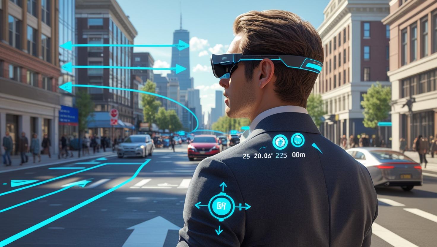
AR Navigation for Pedestrian Mobility
While automotive applications get much of the attention, AR navigation is equally transformative for pedestrian mobility. Tourists, commuters, and urban dwellers benefit from AR directions that guide them through crowded cities, airports, campuses, and shopping malls. Platforms like Google Maps Live View and Apple’s ARKit-powered experiences use Visual Positioning Systems (VPS) to deliver turn-by-turn walking directions that appear to float within the user’s environment.
This is particularly helpful in complex or unfamiliar settings where traditional GPS may fall short—such as multi-level indoor environments or densely populated urban areas. AR navigation also supports accessibility, offering visually impaired users voice-augmented or haptic-enhanced overlays for safer and more intuitive movement.
AI and Real-Time Contextual Awareness
The fusion of AI and AR navigation is a powerful enabler of intelligent mobility. AI algorithms process spatial data in real-time, interpret contextual cues, and adapt instructions dynamically. For example, if a road is closed or a sidewalk is blocked, AI can re-route the user with updated overlays. Object recognition capabilities also allow the system to identify traffic signs, construction zones, or landmarks and present this information contextually within the AR interface.
Furthermore, AI personalizes the experience based on the user’s behavior, preferences, and location history. A commuter might receive faster routes during peak hours, while a tourist could be guided to historical spots or recommended local restaurants as they explore.
Real-World Applications and Industry Adoption
Smart Cities are deploying AR navigation to help citizens and tourists find their way through public infrastructure such as train stations, parks, and museums.
Retailers and malls are using AR indoor navigation to guide shoppers to specific stores or promotions.
Logistics and warehousing companies use AR routing systems to guide workers to inventory locations or optimize pick-and-pack paths.
Emergency response teams use AR maps to access building layouts and identify exit routes during rescue operations.
Challenges and the Road Ahead
Despite the promise of AR navigation, challenges remain. GPS accuracy is still limited in some urban and indoor environments, though technologies like 5G and VPS are closing this gap. Battery consumption and device heat are concerns for mobile AR, especially when used over extended periods. There are also growing concerns around data privacy, particularly in applications that track and analyze user movement.
Nevertheless, the trajectory of innovation is strong. With increased investment in AR wearables, edge computing, and spatial AI, AR navigation is on course to become a mainstream utility—embedded in everything from glasses to vehicle dashboards to drone controls.
Conclusion: Navigation Becomes Human-Centric
AR navigation is much more than a visual upgrade to GPS. It represents a shift toward context-aware, human-centric mobility, where the digital and physical worlds work in tandem to enhance safety, efficiency, and experience. By removing friction from how we interpret directions and interact with space, AR navigation makes movement more natural, more visual, and ultimately more intelligent.
As we head into the next phase of smart mobility and spatial computing, AR navigation will not just help us find where we are going—it will transform how we understand and move through the world.
FAQ: How AR Navigation is Revolutionizing Automotive and Pedestrian Mobility
1. What is AR Navigation?
AR Navigation (Augmented Reality Navigation) uses digital overlays to provide real-time guidance in the physical world. Instead of looking at a 2D map, users see arrows, landmarks, and directional cues overlaid on their real surroundings via phones, AR glasses, or in-vehicle HUDs (Heads-Up Displays).
2. How does AR Navigation benefit drivers?
AR Navigation enhances safety and awareness by projecting directions directly onto the windshield or dashboard display. It can highlight correct lanes, show real-time turn prompts, and identify road hazards—all without requiring drivers to look away from the road.
3. What is the role of AR Navigation in pedestrian mobility?
For pedestrians, AR Navigation offers intuitive wayfinding in complex environments like city centers, airports, malls, and campuses. It improves navigation accuracy, especially in areas where GPS is less reliable, and can also support accessibility features for those with visual impairments.
4. Which technologies make AR Navigation possible?
Key technologies include:
-
GPS and Visual Positioning Systems (VPS) for precise location tracking
-
Computer vision for real-world object and environment recognition
-
AI and machine learning for real-time contextual decision-making
-
AR SDKs and hardware like smartphones, AR glasses, and vehicle HUDs