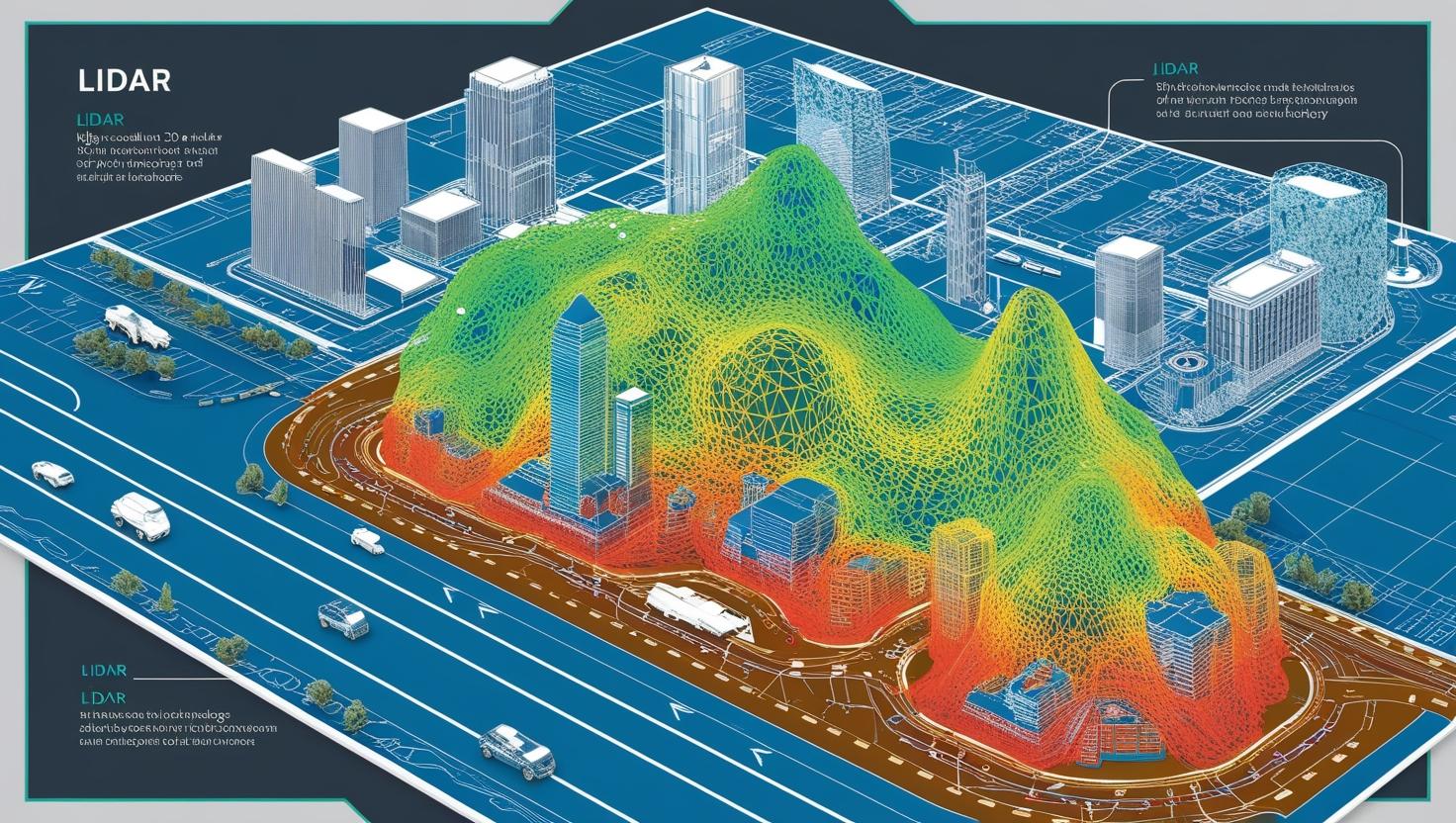
The LiDAR (Light Detection and Ranging) Market has become one of the most dynamic and transformative segments in modern sensing technology. With its ability to generate high-resolution 3D maps and perform precise distance measurements, LiDAR is powering innovations across autonomous vehicles, surveying, construction, agriculture, and environmental monitoring. As industries increasingly demand accuracy, efficiency, and automation, LiDAR has emerged as the cornerstone of spatial intelligence.
By Installation: Airborne and Ground-Based LiDAR Systems
The LiDAR market is primarily segmented by installation type into airborne and ground-based systems, each serving unique purposes.
Airborne LiDAR — mounted on aircraft, drones, or helicopters — is extensively used for topographic mapping, forestry management, flood modeling, and environmental monitoring. It provides a rapid and comprehensive view of large geographic areas with exceptional accuracy.
In contrast, ground-based LiDAR systems are typically deployed on tripods or vehicles for infrastructure inspection, mining, construction, archaeology, and autonomous navigation. These systems offer detailed, localized scanning, often at millimeter-level precision, making them indispensable for urban mapping and asset documentation.
Download PDF Brochure @ https://www.marketsandmarkets.com/pdfdownloadNew.asp?id=1261
By Type: Mechanical and Solid-State LiDAR
LiDAR systems are categorized into mechanical and solid-state types, each representing a distinct technological evolution.
Mechanical LiDAR, the traditional form, uses rotating mirrors or sensors to capture 360-degree data. It’s highly accurate and widely adopted in surveying and mapping applications.
Solid-State LiDAR, on the other hand, is the next-generation solution designed for compactness, cost-efficiency, and robustness. With no moving parts, solid-state sensors are ideal for automotive and mobile robotics applications, enabling reliable obstacle detection and spatial awareness in dynamic environments. The rise of autonomous vehicles and drones is accelerating demand for this technology due to its scalability and durability.
By Range: Short, Medium, and Long-Range Applications
The LiDAR market is also segmented by range — short, medium, and long — based on application needs.
Short-range LiDAR is primarily used in robotics, industrial automation, and vehicle proximity sensing.
Medium-range systems find applications in urban mobility, smart infrastructure, and mid-scale terrain mapping.
Long-range LiDAR, capable of detecting objects several hundred meters away, is critical for autonomous vehicles, aerial mapping, and defense applications, where extended reach and accuracy are essential.
By Service: Aerial Surveying, Asset Management, GIS Services, and Ground-Based Surveying
LiDAR services extend beyond hardware — they encompass end-to-end solutions for data acquisition, processing, and analysis.
Aerial Surveying remains one of the most significant service segments, enabling high-precision topographic mapping and land-use planning.
Asset Management applications leverage LiDAR data for the maintenance and monitoring of infrastructure such as railways, power lines, and pipelines.
GIS (Geographic Information System) Services integrate LiDAR data into digital mapping platforms, enhancing geospatial analytics for urban planning and environmental assessment.
Ground-Based Surveying, meanwhile, supports industries like construction, mining, and heritage conservation, where detailed 3D modeling and point-cloud generation are essential for operational planning.
Market Drivers and Trends
The global LiDAR market is experiencing robust growth, driven by the rapid expansion of autonomous vehicle development, smart city projects, drone-based mapping, and environmental monitoring. The convergence of AI, cloud computing, and IoT with LiDAR data is unlocking new dimensions of insight and automation. Moreover, falling sensor costs, miniaturization, and advancements in solid-state technology are making LiDAR more accessible for commercial and consumer applications.
Governments and enterprises alike are investing heavily in LiDAR-based mapping and surveying programs to support infrastructure development, disaster management, and climate research, underscoring the technology’s long-term relevance.
Conclusion: Shaping the Future of Spatial Intelligence
The LiDAR Market is at the forefront of the digital mapping revolution — blending precision, speed, and intelligence to transform how we perceive and interact with our surroundings. As LiDAR technology continues to evolve, it is set to play a vital role in shaping autonomous mobility, environmental sustainability, and next-generation geospatial analytics.
LiDAR Market – Frequently Asked Questions (FAQ)
1. What is LiDAR technology?
LiDAR (Light Detection and Ranging) is a remote sensing technology that measures distances by illuminating a target with laser light and analyzing the reflected pulses. It creates precise 3D maps and models used in surveying, mapping, and autonomous navigation.
2. What are the main types of LiDAR systems?
LiDAR systems are primarily classified into Mechanical LiDAR and Solid-State LiDAR. Mechanical LiDAR uses rotating sensors for 360° scanning, while Solid-State LiDAR employs fixed components for compact, durable, and cost-efficient operation—ideal for automotive and robotics applications.
3. What are the installation types in the LiDAR market?
The market is divided into Airborne LiDAR (mounted on aircraft, drones, or helicopters) for large-area mapping and Ground-Based LiDAR for detailed, close-range scanning of structures, terrains, and industrial sites.
4. How is LiDAR used across industries?
LiDAR is applied in aerial surveying, asset management, GIS services, autonomous vehicles, environmental monitoring, construction, mining, and infrastructure planning. It enables accurate terrain mapping, vegetation analysis, and structural assessment.