As cities around the world race toward smarter, more connected futures, one technology is rapidly emerging as a critical enabler: LiDAR—short for Light Detection and Ranging. While often associated with autonomous vehicles and topographic mapping, LiDAR in Asset Management and GIS Services is now playing a powerful and often underappreciated role in asset management and GIS (Geographic Information System) services. For smart cities, this combination is proving to be a true game-changer.
What Makes LiDAR So Valuable to Smart Cities?
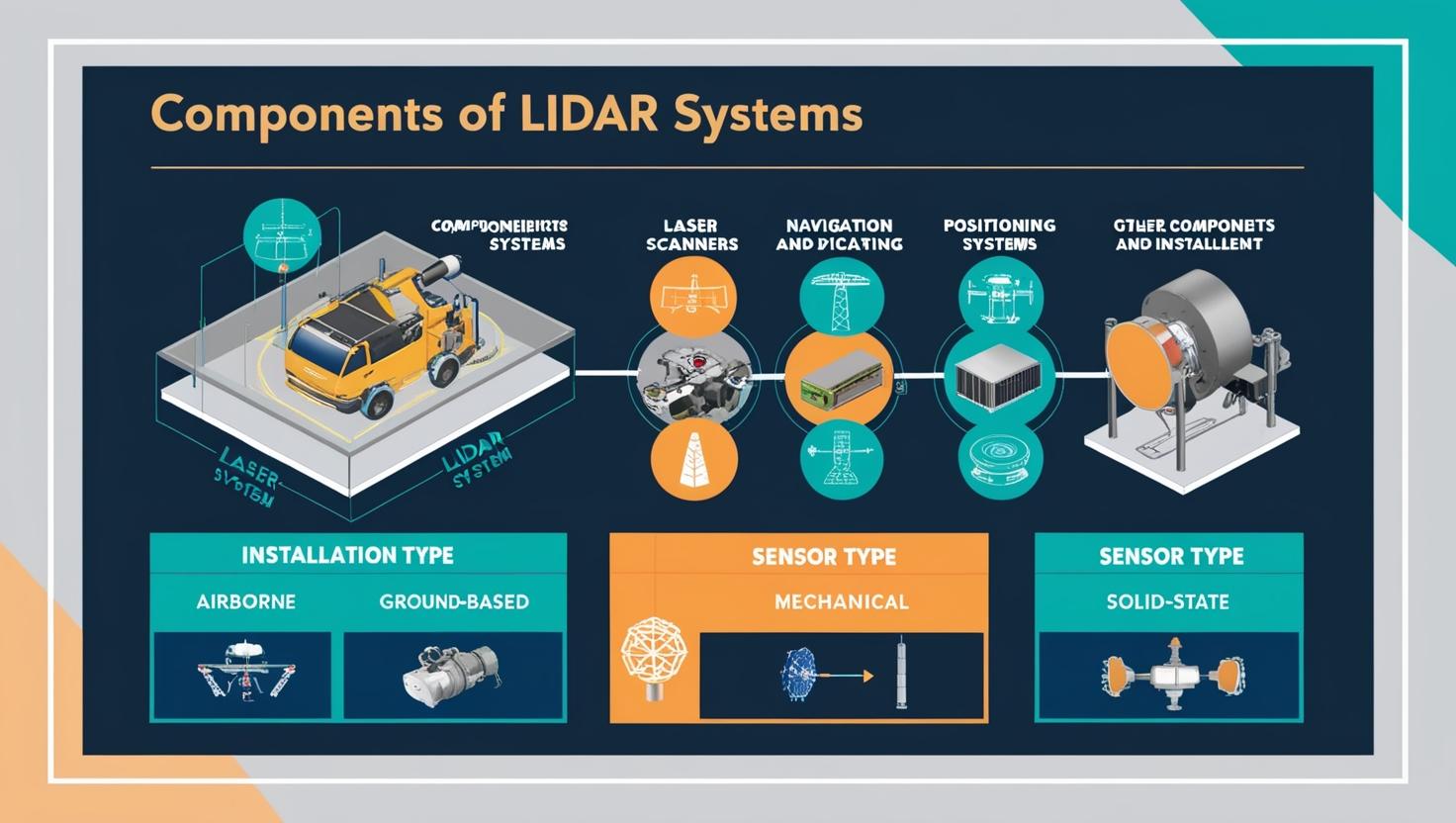
LiDAR works by emitting laser pulses and measuring how long they take to bounce back after hitting an object. This creates highly accurate 3D representations of the surrounding environment—known as point clouds. These point clouds capture precise spatial data about streets, buildings, vegetation, infrastructure, and more.
In the context of smart cities, this data is invaluable. From monitoring urban infrastructure to planning future developments and managing public assets, LiDAR provides the real-time intelligence cities need to operate more efficiently and sustainably.
LiDAR + Asset Management: Seeing the Unseen
Modern cities are made up of thousands—even millions—of assets: streetlights, manholes, bridges, signage, water systems, and power lines, just to name a few. Managing and maintaining these assets manually is time-consuming, error-prone, and expensive.
With LiDAR, cities can create high-resolution 3D maps that reveal the exact condition and location of every physical asset. Asset management teams can use this data to:
-
Detect wear and tear or structural damage
-
Schedule predictive maintenance before problems occur
-
Streamline inspection workflows
-
Reduce costs by eliminating unnecessary site visits
For example, instead of sending a crew to manually inspect every utility pole in a neighborhood, a LiDAR-equipped drone can scan the area in a fraction of the time, delivering more data than a manual inspection ever could.
The LiDAR market is projected to reach USD 12.79 billion by 2030 from USD 3.27 billion in 2025, at a CAGR of 31.3% during the forecast period
Download PDF Brochure @ https://www.marketsandmarkets.com/pdfdownloadNew.asp?id=1261
GIS Services: Powering Smart Decisions with Smart Data
Geographic Information Systems (GIS) play a crucial role in urban planning, zoning, transportation, and emergency response. Traditionally, GIS has relied on 2D data—maps, satellite images, and databases. But with LiDAR, GIS systems can now integrate high-fidelity 3D spatial data, adding an entirely new dimension to how cities analyze, visualize, and act on information.
Whether it’s planning a new bus route, analyzing flood risk, or modeling how a new building would impact sunlight on surrounding structures, LiDAR-powered GIS offers deeper insights and better predictions. It allows urban planners and decision-makers to test scenarios before investing in real-world changes.
Smart Cities in Action: Real-World Applications
Cities like Singapore, Amsterdam, and Los Angeles have already started integrating LiDAR into their urban management ecosystems. In Singapore, for instance, LiDAR is used to monitor traffic patterns and infrastructure health in real time. In the Netherlands, LiDAR data helps assess and manage flood risk—critical in a country where much of the land lies below sea level.
Meanwhile, municipalities in North America are using LiDAR in asset management platforms to keep public infrastructure up-to-date, accessible, and digitally mapped for future upgrades or emergencies.
Why Now? The Timing Is Right
The convergence of falling hardware costs, cloud-based GIS platforms, and AI-driven data analytics is making LiDAR technology more accessible than ever. What once required expensive equipment and specialist teams can now be accomplished with drones, mobile LiDAR scanners, and even handheld devices. The captured data is processed in the cloud and integrated seamlessly with GIS platforms like Esri, QGIS, or custom city management systems.
As urban centers grow denser and infrastructure ages, cities are being forced to do more with less. LiDAR provides a way to stretch resources, improve service delivery, and plan smarter for the future—all using data that’s more accurate and actionable than traditional methods.
The Road Ahead: Challenges and Opportunities
Of course, no technology adoption is without hurdles. LiDAR generates enormous amounts of data, which requires proper storage, processing, and interpretation. Cities must invest in data management tools and skilled professionals to turn raw point clouds into usable insights.
There are also considerations around privacy, especially when scanning populated areas. But with the right frameworks and public engagement, these challenges can be addressed transparently and responsibly.
The upside? A future where cities can proactively manage assets, reduce operational costs, minimize disruptions, and improve the quality of life for citizens—all powered by light and data.
Conclusion: LiDAR Is the New Infrastructure Superpower
In the age of smart cities, data is infrastructure—and LiDAR is one of the most powerful tools available to build it. By combining LiDAR with GIS services and asset management platforms, cities gain a real-time, 3D understanding of their environments that was unimaginable just a decade ago.
This is not just evolution. It’s revolution—quietly unfolding through laser pulses and cloud platforms, changing the way cities see, plan, and grow.
Frequently Asked Questions (FAQ)
What is LiDAR and how does it work?
LiDAR (Light Detection and Ranging) is a remote sensing technology that uses laser light to measure distances to objects and surfaces. It works by emitting laser pulses, capturing their reflections, and calculating the time it takes for each pulse to return. This creates precise 3D representations—called point clouds—of physical environments, including buildings, roads, vegetation, and infrastructure.
Why is LiDAR important for smart cities?
Smart cities rely on accurate, real-time data to manage urban infrastructure, plan development, and respond to environmental challenges. LiDAR provides incredibly detailed spatial information that helps cities map assets, monitor changes, and make data-driven decisions. It supports efforts to become more efficient, sustainable, and responsive to residents’ needs.
How does LiDAR help in asset management?
LiDAR allows cities to create accurate digital maps of all their physical assets—from utility poles and bridges to road signs and water pipes. This helps asset managers track conditions, detect damage, plan maintenance, and even predict failures. It also reduces the need for manual inspections, saving time and money while improving safety.
What role does LiDAR play in GIS services?
GIS (Geographic Information Systems) manage, analyze, and visualize location-based data. LiDAR enhances GIS by adding detailed 3D spatial data, enabling cities to see not just where something is—but how it interacts with its environment. This is critical for urban planning, emergency response, transportation design, and environmental analysis.